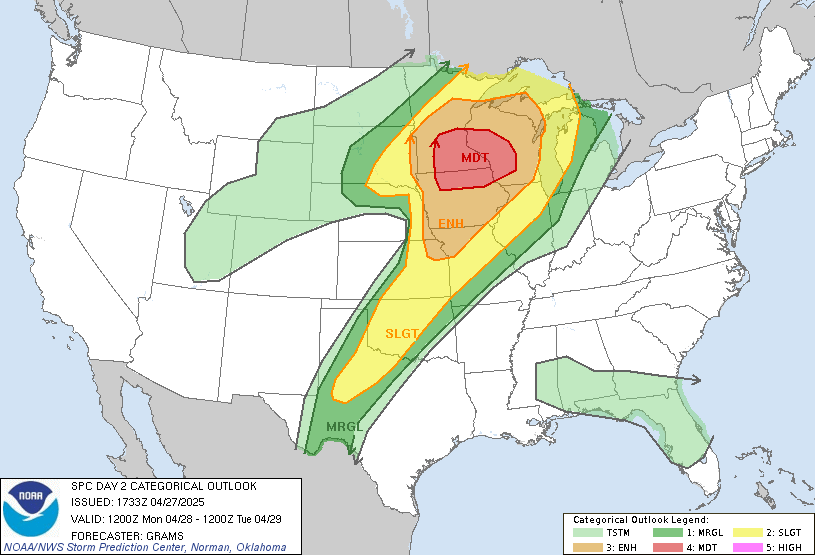
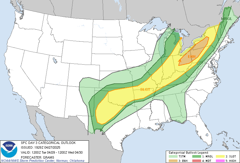
A severe Tuesday, rain through Thursday
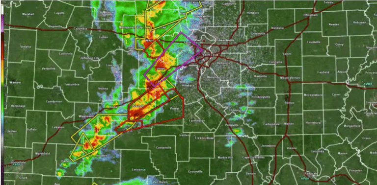
While Central Indiana doesn’t lie in the heart of Mondays expected tornado outbreak, we do land inside the thunderstorms possible area of a heavily warned area of the upper Midwest. With highs pushing near the 80’s and winds gusting to around 25 mph on Monday it will push us into optimal conditions on Tuesday for some severe weather.
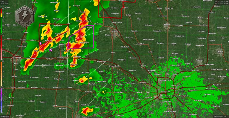
We should have enough heat, humidity, and strong winds to help spark at least a few, scattered severe storms across Central Indiana. Expect a cold front to start moving through and scattered storms to start firing off by early afternoon. Conditions will stay right for storms well into the evening. Heavy rain, hail and the potential for rotating storms will remain in Central Indiana until 8 pm or later. This will be a slow-moving front.
Expect off and on chances for rain the rest of the week but Tuesday should be the only day we see severe weather